Auden’s Col Trek
Auden’s Col Trek
Auden’s Col Trek is considered one of the most challenging treks in India, known for its steep climbs and long days of walking. Located in the Uttarkashi district of Uttarakhand, this trek forms a breathtaking route connecting the Gangotri Valley to the Kedarnath Valley. The journey begins at Gangotri and concludes at Gaurikund, covering approximately 85–100 km over 16 days.
This trek is highly demanding and requires technical mountaineering skills, making it suitable only for experienced trekkers. Guided by professional teams, like Discovery Hike, adventurers can undertake this route safely while experiencing its raw Himalayan beauty. The best months to attempt Auden’s Col are June and September, when the weather is relatively stable, and temperatures are favorable.
The trek is named after the British poet W.H. Auden, who first explored this route in 1936, combining his love for travel and the thrill of Himalayan adventure.
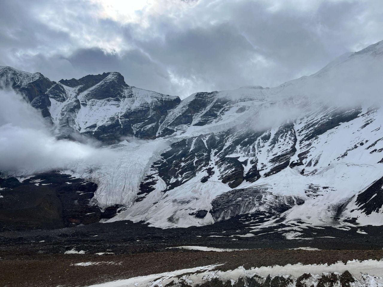
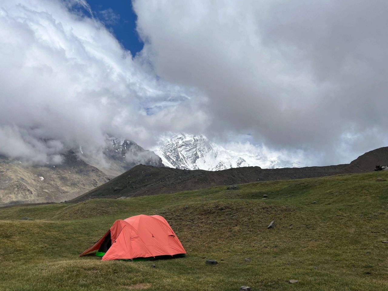
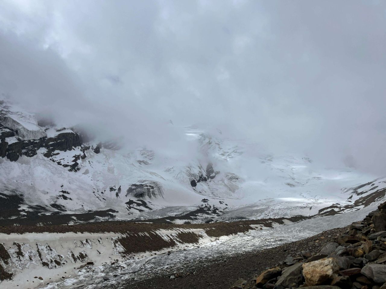
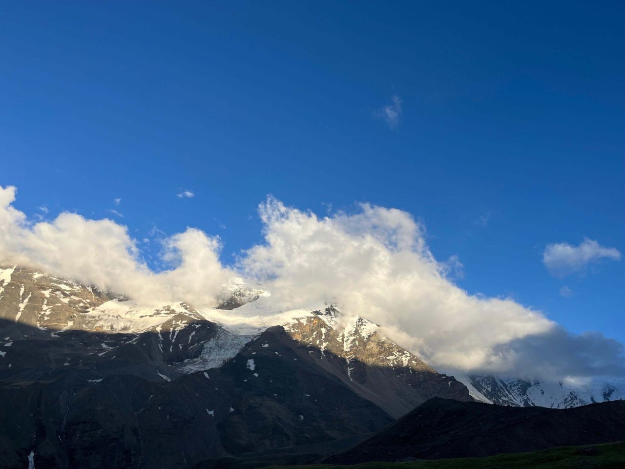
Gallery
Itinerary
Altitude: 3,415 m (11,200 ft).
Reach the base town of Gangotri and check into a guesthouse for the night
Spend the day resting and acclimatizing to the altitude. You can explore the market and visit the Gangotri Temple or nearby viewpoints.
Altitude: 3,760 m (12,335 ft).
The trail goes through dense forests of pine and birch, eventually opening up to meadows with views of the Jogin and Gangotri III peaks.
Altitude: 4,350 m (14,300 ft).
This is a steep ascent over a short distance, offering views of Rudugaira peak and the Auden’s Col pass in the distance.
A second rest day is crucial for high-altitude acclimatization. A short hike towards the Rudugaira peak area is often done to aid the process.
Altitude: 4,720 m (15,485 ft).
The path becomes more challenging, traversing moraine-covered snow and rocky terrain, passing the high-altitude Sukha Tal lake.
Max Altitude: 5,490 m (18,010 ft) at the pass.
This is the most challenging day, involving steep ascents on a glacier (requiring roping up) and a technical descent into the crevasse-ridden Khatling Glacier.
Altitude: 3,870 m (12,700 ft).
Continue navigating the vast, crevasse-filled Khatling glacier until reaching a riverside camp.
A well-deserved rest after the strenuous glacier crossing days.
Altitude: 3,580 m (11,750 ft).
The trail moves away from the barren glacier landscape and re-enters lush green meadows and forests.
Altitude: 4,135 m (13,565 ft).
Trek to the isolated, pristine Masar Tal, a high-altitude lake offering views of the Thalay Sagar peak.
Max Altitude: 5,000 m (16,400 ft) at Mayali Pass.
This involves another pass crossing, with steep ascents and descents over boulders and snow, leading to the sacred Vasuki Tal lake.
Altitude: 3,590 m (11,780 ft).
A final descent brings you to the revered Kedarnath temple and the end of the remote trekking section. Stay in a hotel or guesthouse.
Altitude: 1,985 m (6,510 ft).
Follow the well-marked pilgrim trail down to Gaurikund, the last road head.
The journey concludes with a long drive back to Dehradun.
A mandatory buffer day is included in most itineraries to account for potential weather delays or unforeseen circumstances.